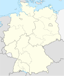
| Display title | File:Germany location map 8 Jun 1947 - 22 Apr 1949.svg |
| Default sort key | Germany location map 8 Jun 1947 - 22 Apr 1949.svg |
| Page length (in bytes) | 1,331 |
| Namespace ID | 6 |
| Namespace | File |
| Page ID | 10202664 |
| Page content language | en - English |
| Page content model | wikitext |
| Indexing by robots | Allowed |
| Number of page watchers | Fewer than 30 watchers |
| Number of redirects to this page | 0 |
| Counted as a content page | Yes |
| Hash value | e2a6b705b97768216c4db79e02a260ea01fe0b17 |
| Page image |  |
| Page views in the past 30 days | 3 |
Page protection
| Edit | Allow all users (infinite) |
| Move | Allow all users (infinite) |
| Upload | Allow all users (infinite) |
View the protection log for this page.
Edit history
| Page creator | TUBS (talk | contribs) |
| Date of page creation | 08:25, 30 April 2010 |
| Latest editor | Aeroid (talk | contribs) |
| Date of latest edit | 16:53, 31 March 2023 |
| Total number of edits | 10 |
| Recent number of edits (within past 30 days) | 0 |
| Recent number of distinct authors | 0 |
Page properties
| Hidden categories (5) | This page is a member of 5 hidden categories:
|
| Transcluded templates (33) | Templates used on this page:
|
| Wikis subscribed to this entity | None |
| Wikidata entities used in this page | - M10202664
- Title
- Miscellaneous (e.g. aliases, entity existence)
|
Lint errors
View detailed information on the lint errors.
