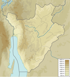
Kagunuzi River
Appearance
| Kagunuzi River | |
|---|---|
| Native name | French: Rivière Kagunuzi |
| Location | |
| Country | Burundi |
| Province | Bubanza Province, Cibitoke Province |
| Physical characteristics | |
| Mouth | Ruzizi River, |
• coordinates | 3°02′38″S 29°14′47″E / 3.04397°S 29.24643°E |
The Kagunuzi River is a river in northwestern Burundi.
Course
Gitenge–Kagunuzi and the Kaburantwa River are important tributaries on the east side of the Ruzizi river, with an estimated total hydroelectric potential of about 100 MW.[1] The Gitenge River forms above the Lac de Rwegura in the Parc national de la Kibira. It flows west-southwest between Cibitoke Province to the north and Bubanza Province to the south, and joins the Kagunuzi. The combined river enters the Ruzizi River to the sought of Ndava, Cibitoke.[2]
References
Sources
- Republic of Burundi Energy sector rehabilitation project (PDF), World Bank, 14 February 1991, retrieved 2024-08-19
- "Way: Kagunizi (313713953)", OpenStreetMap

