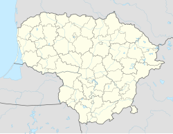
Šėta
Appearance
You can help expand this article with text translated from the corresponding article in Lithuanian. (June 2009) Click [show] for important translation instructions.
|
Šėta | |
|---|---|
Town | |
 | |
| Coordinates: 55°16′50″N 24°15′10″E / 55.28056°N 24.25278°E | |
| Country | |
| Ethnographic region | Aukštaitija |
| County | |
| Municipality | Kėdainiai District Municipality |
| Eldership | Šėta Eldership |
| Population (2011) | |
| • Total | 935 |
| Time zone | UTC+2 (EET) |
| • Summer (DST) | UTC+3 (EEST) |
Šėta is a small town (miestelis) in Kėdainiai District Municipality, Kaunas County, central Lithuania. In 2011, it had a population of 935.[1]
It is located by the Obelis river. The Vanga River flows into Obelis in the center of the town. A dam on Obelis creates the Šėta reservoir. There is the Šeta Botanical Reserve northeast the town.
References
- ^ "2011 census". Statistikos Departamentas (Lithuania). Retrieved August 13, 2017.


