
Restren:Europe map.png
Myns an ragwel ma: 598 × 600 piksel. Klerderyow erel: 239 × 240 piksel | 478 × 480 piksel | 766 × 768 piksel | 1,245 × 1,249 piksel.
Restren wreydhek (1,245 × 1,249 piksel, myns an restren: 77 KB, eghen MIME: image/png)
| Restren dhyworth Wikimedia Commons yw hebma. Yma diskwedhys a-woles derivadow dhyworth y folen deskrifans ena. | Mos dhe folen an restren war Wikimedia Commons |

|
File:Blank map of Europe cropped (blue).svg is a vector version of this file. It should be used in place of this PNG file when not inferior.
File:Europe map.png → File:Blank map of Europe cropped (blue).svg
For more information, see Help:SVG. |
.svg) |
Berrskrif
| Deskrifans |
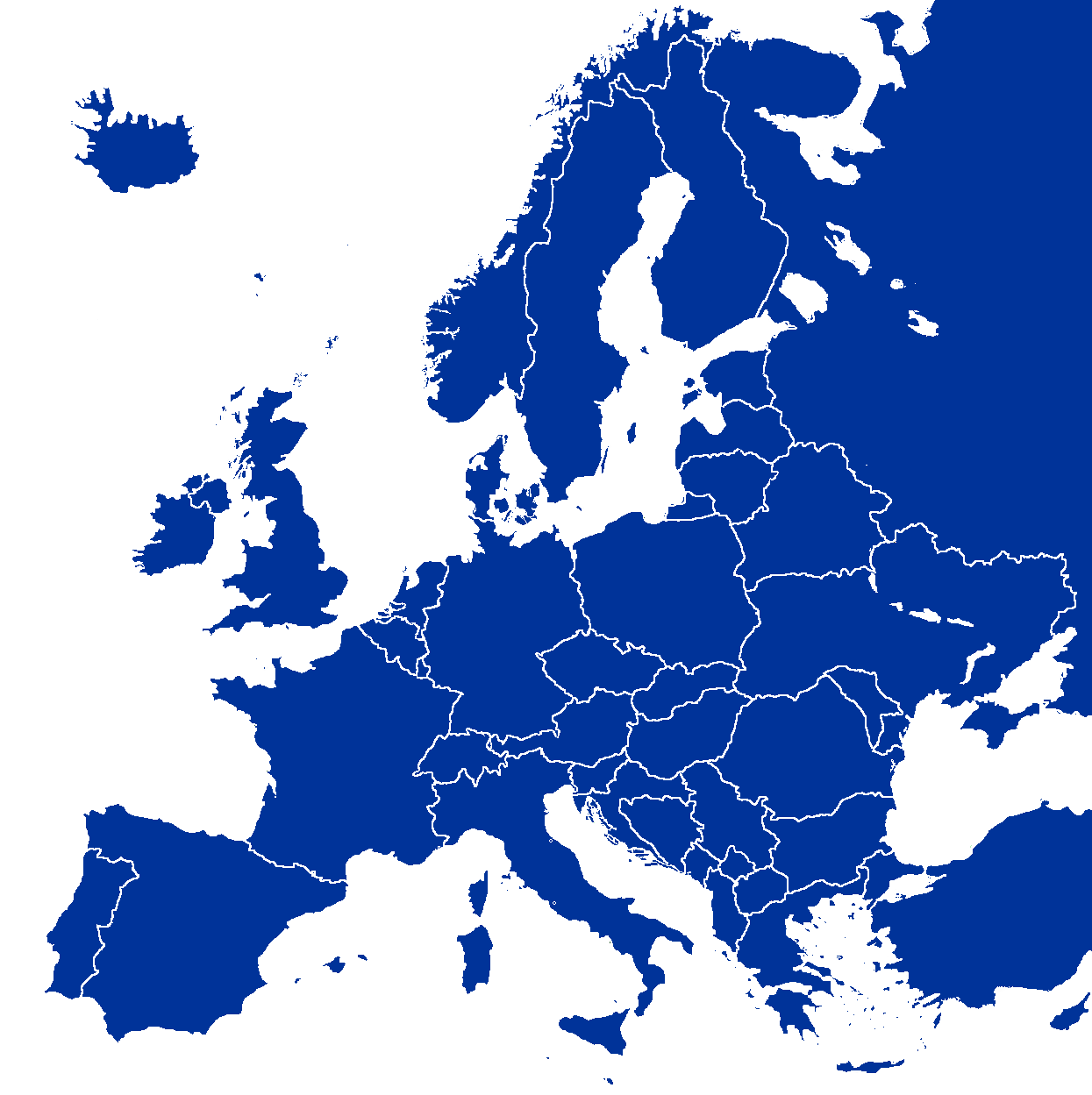
English: Political map of Europe |
| Pennfenten | Based on: Image:Europe blank map.png on en.wikipedia |
| Awtour |
Leshyans
| This work has been released into the public domain by its author, Wiki-vr. This applies worldwide. In some countries this may not be legally possible; if so: |
| Annotations | This image is annotated: View the annotations at Commons |
Istori an restren
Klyckyewgh war dhedhyans/eur rag gweles an folen dell o an termyn na.
| Dedhyans/Eur | Skeusennik | Mynsow | Devnydhyer | Kampol | |
|---|---|---|---|---|---|
| 14:52, 31 Gortheren 2008 |  | 1,245 × 1,245 (78 KB) | Avala | ||
| 09:27, 24 Gortheren 2008 |  | 1,245 × 1,249 (77 KB) | Aegean Boy~commonswiki | {{Information |Description= |Source= |Date= |Author= |Permission= |other_versions= }} | |
| 21:59, 22 Meurth 2008 |  | 1,245 × 1,245 (78 KB) | Nightstallion | Reverted to version as of 16:34, 13 March 2008 | |
| 19:36, 19 Meurth 2008 |  | 1,245 × 1,245 (78 KB) | Patstuart | Reverted to version as of 18:16, 11 March 2008 - see Image talk:BlankMap-World-v6.png#As stated in reversion | |
| 16:34, 13 Meurth 2008 |  | 1,245 × 1,245 (78 KB) | Nightstallion | Reverted to version as of 13:upload a variant if you wish, but the majority in Europe recognises or will recognise.44, 24 February 2008 | |
| 18:16, 11 Meurth 2008 |  | 1,245 × 1,245 (78 KB) | Avala | there is no consensus in Europe | |
| 13:44, 24 Hwevrer 2008 |  | 1,245 × 1,245 (78 KB) | Hoshie | Added Kosovo since it has been internationally recognized | |
| 05:05, 31 Hedra 2007 |  | 1,245 × 1,245 (78 KB) | Hoshie | added Montenegro; under same lic. as before | |
| 22:51, 20 Du 2006 |  | 1,245 × 1,245 (50 KB) | UP3~commonswiki | Cyprus deleted | |
| 11:25, 24 Gwynngala 2005 |  | 1,245 × 1,245 (54 KB) | Wiki-vr | Map of Europe. Based on: http://en.wikipedia.org/wiki/Image:Europe_blank_map.png {{PD-user|Wiki-vr}} Category:Maps of Europe |
Devnydh an restren
Yma moy es 100 folen owth usya an restren ma. Ny dhiskwa an rol a sew marnas an kynsa 100 folen a dhevnydh an restren ma. Yma rol leun kavadow.
- Albani
- Albert II, Pryns Monako
- Almayn
- Amsterdam
- Armeni
- Athína
- Azerbayjan
- Belarussi
- Berlin
- Bern
- Bosni–Hercegovina
- Bratislava
- Bremen
- Brusselas
- Budapest
- Bulgari
- Cita Vatikan
- Danmark
- Donatello
- Espoo
- Estoni
- Estrych
- Frankfurt
- Gwernenys
- Hamburg
- Helsinki
- Hungari
- Iseldiryow
- Island
- Itali
- Jan Mayen
- Jersi
- Jibraltar
- Joensuu
- Jyväskylä
- Kobros
- Kosova
- Kostentin II a Rom
- Kotka
- Końskowola
- Kroati
- Lahti
- Lappeenranta
- Latvi
- Le Corbusier
- Liechtenstein
- Lithouani
- Louvre
- Lushaborg
- Madeira
- Mainz
- Malta
- Marlene Dietrich
- Moldova
- Monako
- Montenegro
- Norgagh
- Osseti Dhyhow
- Oulu
- Poloni
- Pori
- Pow Belg
- Pow Chek
- Pow Finn
- Pow Frynk
- Pow Grek
- Pow Grouzi
- Pow Kazagh
- Prishtina
- Rauma
- Repoblek Makedoni
- Repoblek Turkek Kobros Kledh
- Rosa Luxemburg
- Roumani
- Rovaniemi
- Russi
- Ruvaneth Unys
- Saint Helier
- Seinäjoki
- Sen Marin
- Serbi
- Serbi ha Montenegro
- Slovaki
- Sloveni
- Spayn
- Swedherwyk
- Swistir
- Tampere
- Transnistri
- Turki
- Turku
- Ukrayn
- Vaasa
- Vantaa
- Vincent van Gogh
- Warszawa
- Wolfgang Amadeus Mozart
- Ynys Manow
- Ynysek Açores
- Ynysow Faroe
Gweles moy a gevrennow dhe'n restren ma.
Devnydh ollvysel an restren
Yma an wikis erel a syw ow tevnydhya an restren ma:
- Devnydh war ar.wikipedia.org
- Devnydh war bg.wikipedia.org
- Европа
- Курганна култура
- Каролинги
- Алпиди
- Лужишка култура
- Контрареформация
- Eurostar
- Тридесетте славни години
- Европейски първенства
- Дървар
- Европейски химн
- Шаблон:Теми свързани с Европа
- Европейски път Е67
- Халщатска епоха
- Европейски път Е851
- Европейски път Е671
- Държавно устройство на страните в Европа
- Афроевропейци
- Европейски езици
- Еманципация на евреите
- Хаскала
- Латенска култура
- Европейски фонд за финансова стабилност
- Европейски стабилизационен механизъм
- Европейски маршрути за пешеходен туризъм
- Докелтски период
- Култура на полетата с погребални урни
- Европейски концерт
- Ислям в Европа
- Християнство в Европа
- Обща криза
- География на Европа
- Принудителен труд в Нацистка Германия
- Континентална Европа
- Кубанска народна република
- Devnydh war cs.wikipedia.org
Gweles devnydh ollvysel moy a'n restren ma.