Waikūkūpa River
Appearance
| Waikūkūpa River | |
|---|---|
 | |
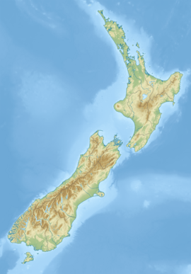
 Route of the Waikūkūpa River | |
| Location | |
| Country | New Zealand |
| Region | West Coast |
| District | Westland |
| Physical characteristics | |
| Source | Fritz Glacier |
| • location | Southern Alps / Kā Tiritiri o te Moana |
| • coordinates | 43°28′46″S 170°09′24″E / 43.4795°S 170.1568°E |
| Mouth | Tasman Sea |
• coordinates | 43°20′08″S 170°00′22″E / 43.33555°S 170.00611°E |
| Length | 16 km (9.9 mi) |
| Basin features | |
| Progression | Waikūkūpa River → Tasman Sea |
| River system | Waikūkūpa River |
| Tributaries | |
| • left | Joey Creek, Acrobat Creek, Molly Creek |
| • right | Hare Mare Creek, Paddy Creek |
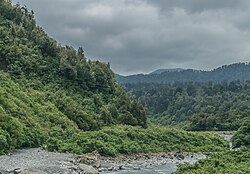
The Waikūkūpa River is a river of the West Coast region of New Zealand's South Island. It flows northwest through Westland Tai Poutini National Park to reach the Tasman Sea 14 kilometres north of Fox Glacier township.
See also[edit]
References[edit]
"Place name detail: Waikūkūpa River". New Zealand Gazetteer. New Zealand Geographic Board. Retrieved 10 November 2022.


